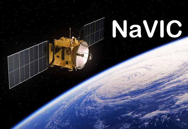
Why in News?
India’s space agency, the Indian Space Research Organisation (ISRO), recently reported the partial failure of the NVS-02 navigation satellite due to the non-firing of its engines in space. This setback highlights the challenges in developing and maintaining the Navigation with Indian Constellation (NavIC), India’s indigenous satellite navigation system. Despite its potential as a strategic alternative to the US-based Global Positioning System (GPS), NavIC has faced multiple technical hurdles over the years.
This development is significant because:
- NavIC was designed to provide India with an independent navigation system for military and civilian use.
- Failures in several IRNSS satellites raise concerns about the system’s reliability and operational efficiency.
- India aims to expand NavIC’s reach to commercial applications, similar to GPS.
- The issue of malfunctioning rubidium atomic clocks in earlier satellites continues to affect performance.
The latest failure underscores the need for ISRO to overcome technical obstacles and ensure NavIC’s full functionality for strategic and commercial use.
Introduction
The Indian Regional Navigation Satellite System (IRNSS), operationally known as NavIC (Navigation with Indian Constellation), is an indigenous satellite-based navigation system developed by ISRO. The idea for NavIC was first proposed in 1999 after the Kargil war, during which India realized the strategic limitations of relying on the US-based GPS. The first satellite of the system, IRNSS-1A, was launched in 2013, and by 2016, the full constellation of seven satellites was in place. However, the system has encountered multiple technical failures, particularly related to atomic clocks and satellite malfunctions.
NavIC is crucial for India’s defense, disaster management, and commercial applications. Unlike GPS, which covers the entire globe, NavIC is focused on providing highly accurate positioning data over India and neighboring regions.
Despite its importance, ISRO has faced several challenges in maintaining NavIC’s operational efficiency, including:
- Failures of key satellites, affecting overall performance.
- Malfunctioning atomic clocks, which are essential for precise timekeeping in navigation systems.
- Limited commercial adoption, as compared to GPS, which is widely integrated into global consumer devices.
Point-wise Summary
- Development and Current Status of NavIC
- The Indian Regional Navigation Satellite System (IRNSS) was conceived in 1999 and approved by the Indian government to create an independent satellite-based navigation system.
- The system consists of a constellation of satellites providing accurate positioning over India and surrounding regions.
- NavIC provides two types of services:
- Standard Positioning Service (SPS): Available for civilian use.
- Restricted Service (RS): Encrypted for defense and strategic applications.
- As of 2025, only four of the original IRNSS satellites are fully operational.
- Challenges Faced by NavIC
- Failure of Satellites
- The recent NVS-02 failure resulted from an engine malfunction, preventing the satellite from reaching its intended orbit.
- Six of the eleven IRNSS satellites launched so far have suffered failures, affecting the overall reliability of the system.
- Atomic Clock Malfunctions
- The rubidium atomic clocks, essential for accurate positioning, failed in multiple satellites, including IRNSS-1A, 1C, 1D, and 1E.
- Similar failures were observed in Europe’s Galileo navigation system, indicating a global issue with these clocks.
- ISRO introduced modified atomic clocks in later satellites, such as IRNSS-1H, but technical issues persisted.
- Limited Commercial Adoption
- Unlike GPS, which is widely used in consumer electronics, NavIC’s commercial adoption has been slow.
- Qualcomm, a major chipset manufacturer, announced support for NavIC in 2023, a step toward wider integration into smartphones and navigation systems.
- Importance of NavIC for India
- Strategic Autonomy: Provides India with an independent alternative to GPS, ensuring reliable access to navigation data for defense and civilian applications.
- Military Applications: Used for precision targeting, surveillance, and defense operations.
- Disaster Management: Helps in disaster relief operations by providing accurate location data in affected areas.
- Agriculture and Transportation: Enables precision farming, fleet management, and navigation for transportation networks.
- Future Roadmap for NavIC
- ISRO plans to launch a series of next-generation satellites (NVS-03, 04, and 05) to enhance NavIC’s coverage and accuracy.
- Upgrading ground-based infrastructure and satellite control systems to improve reliability.
- Strengthening partnerships with global chipset manufacturers to ensure wider adoption of NavIC-enabled devices.
- Developing enhanced atomic clocks for improved satellite performance.
Key Terms and Their Explanation
- IRNSS (Indian Regional Navigation Satellite System)
- India’s indigenous satellite navigation system, operationally called NavIC.
- NavIC (Navigation with Indian Constellation)
- A regional navigation satellite system providing accurate positioning over India and neighboring areas.
- GPS (Global Positioning System)
- A global satellite navigation system operated by the United States, widely used worldwide.
- Atomic Clock
- Highly precise timekeeping devices used in navigation satellites to synchronize signals and ensure accurate positioning.
- Galileo Navigation System
- The European Union’s satellite navigation system, similar to GPS and NavIC.
- Rubidium Atomic Clocks
- Specialized clocks used in navigation satellites to maintain accurate time synchronization.
- Qualcomm
- A leading global manufacturer of semiconductor chips used in mobile devices, which announced support for NavIC in 2023.
- NVS (Next-Generation NavIC Satellites)
- The advanced version of NavIC satellites aimed at improving performance and expanding coverage.
Conclusion
NavIC represents a significant achievement in India’s space and navigation technology, providing an indigenous alternative to global systems like GPS. However, its development has been plagued by technical setbacks, particularly failures of satellites and atomic clocks. The recent NVS-02 failure highlights the need for ISRO to address these issues through better design, improved technology, and increased commercial adoption.
To make NavIC a viable alternative to GPS, India must:
- Strengthen satellite reliability by overcoming atomic clock failures and ensuring robust hardware.
- Expand commercial adoption by collaborating with smartphone manufacturers and navigation service providers.
- Launch advanced satellites to improve accuracy and coverage.
Enhance ground-based infrastructure to support navigation services.