SVAMITVA Scheme and Related Information
- Overview of the SVAMITVA Scheme:
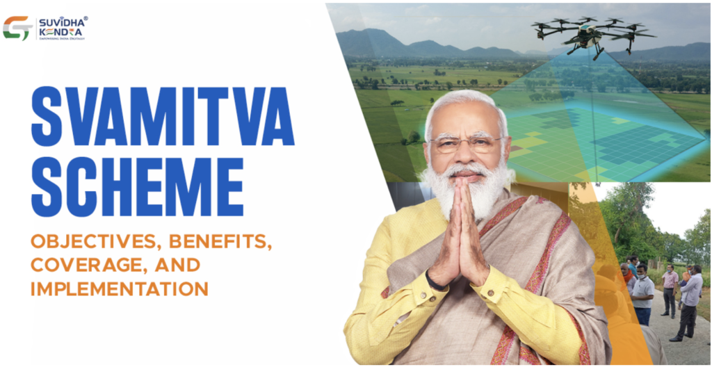
- SVAMITVA stands for Survey of Villages and Mapping with Improvised Technology in Village Areas.
- Launched by Prime Minister Narendra Modi in 2020, it aims to provide legal property documentation to rural households.
- The initiative is a central scheme implemented by the Ministry of Panchayati Raj.
- Key Objectives:
- To create accurate land ownership records for rural properties.
- To unlock the economic potential of rural land by issuing property cards.
- To reduce property-related disputes in rural areas and enhance transparency in land ownership.
- Economic Impact:
- The issuance of property cards is expected to unlock economic activity worth over ₹100 lakh crore in rural areas.
- Property cards transform “dead capital” (land without documentation) into productive assets.
- Villagers can leverage property cards to secure loans and participate in formal economic activities.
- Survey and Coverage:
- Over 6 lakh villages have been surveyed under the scheme since its launch in 2020.
- As of January 2025, 2.25 crore people in rural areas have received legal documentation for their houses.
- Drone technology is being used for high-resolution mapping of rural properties.
- Distribution Event on January 18, 2025:
- PM Modi distributed 65 lakh property cards through videoconferencing.
- Beneficiaries were from 20 states and 2 Union Territories, including Gujarat, Himachal Pradesh, Maharashtra, Mizoram, Odisha, Punjab, Rajasthan, Uttar Pradesh, and Jammu & Kashmir.
- The event also highlighted the distribution of five SVAMITVA cards to tribal beneficiaries.
- Significance of Property Cards:
- Property cards are crucial for financial inclusion as they provide villagers with legal proof of ownership.
- They enable villagers to use land as collateral for securing loans.
- Legal documentation helps resolve disputes and streamlines ownership transfer processes.
- Integrated Features:
- The introduction of the Unified Land Parcel Identification Number (ULPIN) as a foundational tool for village development.
- Drone surveys digitize land records, ensuring accuracy and transparency.
- ULPIN assigns a unique identity to each land parcel, making tracking and legal recognition easier.
- Challenges Addressed by SVAMITVA:
- Historically, the absence of legal property documentation limited economic participation and led to disputes.
- The scheme addresses the global challenge of property rights in rural areas.
- Global and National Context:
- According to the Prime Minister, issues related to property ownership rights are a global concern.
- In India, property disputes have led to delays in land transactions and economic stagnation in rural areas.
- Technological Innovation:
- Drone technology plays a pivotal role in creating accurate and comprehensive land records.
- These records form the basis for issuing property cards and updating revenue records.
- Banking and Economic Inclusion:
- With legal ownership, villagers can access formal credit facilities from banks.
- Property cards provide a foundation for rural entrepreneurship and asset-based income generation.
- Past Achievements and Future Goals:
- Since its inception, the scheme has demonstrated success in digitizing property records in villages.
- The government aims to extend the benefits of SVAMITVA to all villages in India, ensuring that every rural household has legal property documentation.
Notes on Key Terms:
- SVAMITVA: A central government scheme to provide legal property documents to rural households by mapping land using drones.
- Unified Land Parcel Identification Number (ULPIN): A unique identifier assigned to each land parcel to ensure accuracy and legal clarity in property records.
Dead Capital: Assets, such as undocumented land, that cannot be used for economic transactions due to the absence of legal ownership proof.